Best travel time:
The Main Cycle Path is perfect for cycling from April to October.

The river:
The Main is the fourth largest tributary of the Rhine and has two sources, the White and Red Main, which flow together at Kulmbach. After a distance of 527 km, the Main flows into the Rhine opposite Mainz. The Main was expanded to Bamberg to facilitate shipping; 36 barrages with locks, hydroelectric power stations and fish ladders were built for this purpose. From Bamberg, the Main-Danube Canal then leads to Kelheim. The water quality of the Main is good, but swimming is not recommended.
The landscape:
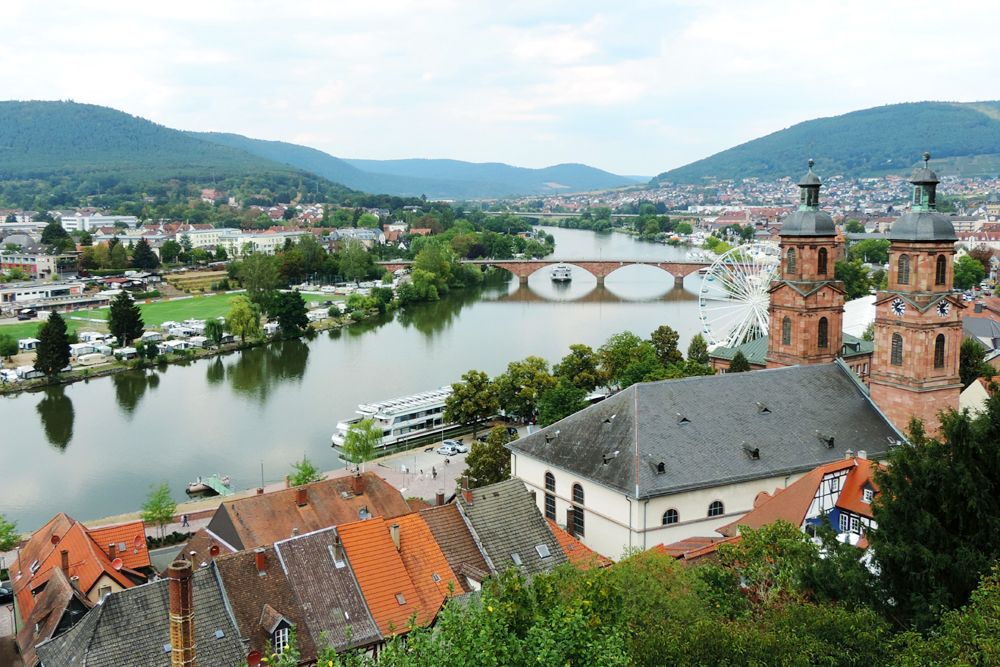
The Main runs in a general east-west direction. In the north, it runs between the Franconian Forest, the Haßberge and the Spessart mountains. In the south, it runs between the Steigerwald and Odenwald forests. The middle section around the Maindreieck (Main Triangle) and Mainviereck (Main Square) is a well-known wine-growing region. From Aschaffenburg the landscape opens up towards Frankfurt. The regions around Würzburg and Frankfurt are highly populated areas, offering a high quality of life, otherwise the Main Cycle Path leads through attractive natural landscapes. There is a long list of cities, towns and (wine) villages that are worth seeing, such as Bamberg, Würzburg and Miltenberg.

The Main Cycle Path:
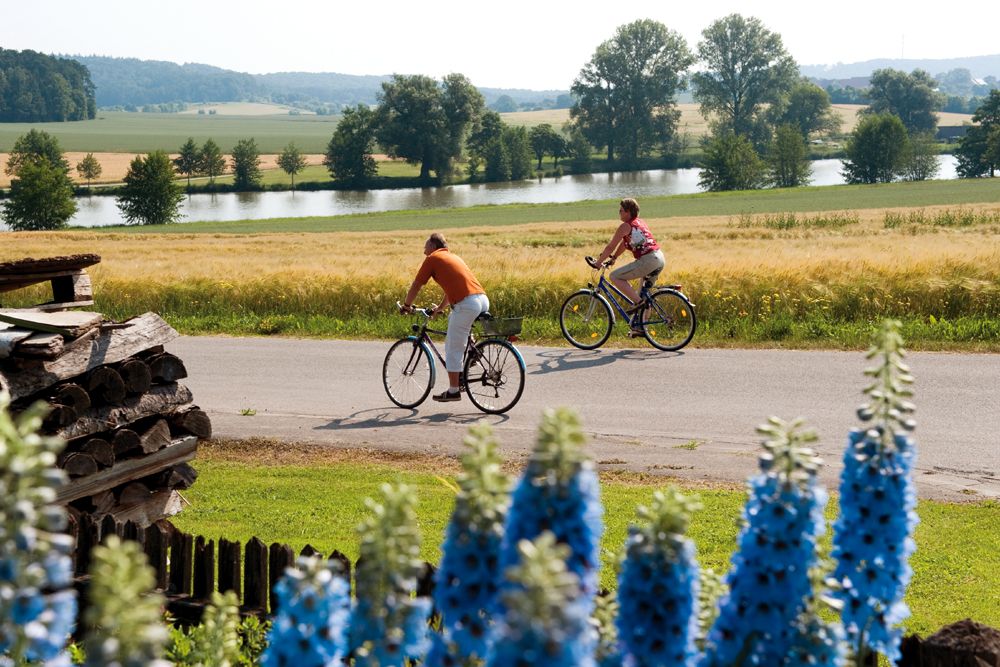
The Main Cycle Path accompanies both source rivers and follows the Main to its confluence with the Rhine at a total length of approx. 600 km. It mostly runs as a separate asphalted bike path on or near the river. Sometimes it uses bike lanes next to roads or quiet side streets. The course is flat and therefore also suitable for families. It is very well signposted, but only on one side of the river, although you’ll be able to cycle along most of the route on both sides of the river. Take a look at the map to choose the nicer sections of the route, switch to one of the many branching cycle paths or to plan sightseeing trips along the Main Cycle Path.